NEW ROUTE AT NORTH BONDI

We are so excited to share with you a new route addition at North Bondi!

With thanks to Waverley Council, we’ve added a beautiful new section to the Bondi to Manly Walk that now takes in the headland at North Bondi.

After walking along Bondi Beach, instead of turning left at the pedestrian crossing and walking up Scarborough Crescent, you’ll now continue along the foreshore and ascend through Biddigal Reserve before following the foreshore along to Sam Fiszman Park and Ben Buckler Reserve for spectacular views back over Bondi Beach.

This is one of those stunning spots that you have to experience at sunrise and will add a beautiful experience to the start of the Walk.

After looping around the Headland, you’ll start heading uphill along Brighton Boulevard, left on Bay Street then right on Hastings Parade before rejoining the old route at Military Road and onto the Federation Clifftop Walk.

We hope you love it!

Huge thanks to local Dov Frazer for supplying us with these great photos!

WALK WITH A LOCAL | Rushcutters and Elizabeth Bay

Join one of our volunteers as she walks her favourite local trails, highlighting her favourite bits along the way.

This time walking on my own, which in some ways is almost as enjoyable as having company. It certainly allows more time for reflection of why this part of Sydney is so special to me. All these years after I arrived in 1980 with a vague plan to be here for a handful of months. Forty one years later, I still love the place.

I’ve lived most of those of years in Sydney’s Eastern Suburbs, but also a great 10 years in Balmain, a much shorter stint at Cremorne Point as well as working all over Australia which allowed me to get to know most of the State capitals quite well. Funny, now I look back on those years, wherever I’ve been, I’m always up at daybreak trotting around, hopefully near water, enjoying the views! There’s something about being close to nature that inspires me.

Meanwhile, back to today’s walk, which I’ve enjoyed a million times. But funny being on my own and thinking about what it must be like to go past these views as you progress along the B2M track, I saw a plaque I’d never noticed before. 

Not the easiest to read due to its age, but highlights the importance of Rushcutters Creek/Bay as a Watermill 1773 – 1858. A first for Sydney. Opened by Mrs Macquarie in 1812. The swamp, mahogany land that Thomas West was granted, which he called Barcom Glen, gives us the name of one of our local streets leading down to Rushcutters Bay, Barcom Avenue.

Rushcutters Bay.png


Just along from this plaque was a gorgeous sight of the many boats, kayaks, sea surfboards and paddle boards that locals leave along the edge of the park to use in the harbour.

Elizabeth to Rushcutters Bay stairs.png

Luckily another helpful B2M sign as I leave Rushcutters Bay … 

which marks a very special spot for me. The sign is beside these stairs (yes they are pretty steep, especially to come down). My GP’s practice was just across the road at the top of these stairs/laneway. It always reminds of the times I was quite under the weather, but still determined to walk to him to get a prescription vs driving. I know I’m well, when I hoof up them without wheezing … or limping.

Full of memories I make it up the stairs and then head down towards Bear Park in Elizabeth Bay. The B2M route veers off along Billyard Avenue before this park, but it’s well worth a short detour (you can see it is in the distance of this photo). There’s a great café there and the views out to the harbour and drinking in views of some of Sydney’s most expensive real estate are sensational.

elizabeth bay from rushcutters bay.png

And that brought me very quickly to one of my most favourite, and almost hidden, little parks in Sydney called Arthur McElhone Reserve. It’s either up some stairs from Billyard Avenue (see B2M sign) or street level on Onslow Avenue, opposite Elizabeth Bay House, once the finest house in the colony and completed in 1839.

McElhone Park.png

Wonderfully tranquil as you can see from the photo and perfect to stop for a few minutes, to read a book or share a picnic with mates. Well worth a visit, although you will pass below it on the B2M route unless you make a special detour/stop to enjoy its ambience and the views.

Elizabeth Bay.png

Originally, Elizabeth Bay house was in substantial grounds, but now is surrounded by many apartment buildings. The views are still spectacular though, over McElhone Reserve and then out to the harbour.

Billyard steps.png

The B2M track takes you along Billyard Avenue to these stairs climbing quickly through the backs of apartment buildings to Macleay Street to begin going down to the naval dockyards and Woolloomooloo. 

I’ve been walking round this part of Sydney for much of my adult life and it wasn’t until I joined a night walking group which started in Hyde Park and walked to Bondi Junction that I was shown these steps. Amazing that there are things to discover almost every time you go out walking.

WALK WITH A LOCAL | Vaucluse and Parsley Bay

Join one of our volunteers as she and a friend walk their favourite local trails and highlight their favourite bits along the way.

Our next walk took us cross country to join the B2M route, starting at the Vaucluse High Street shops through Vaucluse House and down to Vaucluse Bay. Stunning weather, crystal clear water, although still a bit too cold for even the keenest swimmer and the dogs having a wonderful time splashing around.

vaucluse bay.png

Rob was telling me how much the area has changed over the decades since he was a boy. Every house had a backyard then, many families kept animals (chooks, sheep and the like – Vaucluse House had lots of sheep) and the trams ran regularly from Queens Square through Kings Cross down New South Head Road to Watson’s Bay. But the area hasn’t lost its natural beauty and charm. In his day, he and his brothers used to ride their bikes through the bush near the shoreline, but of course now much of that has been opened up for easy public access and enjoyment.

Bondi to Manly Signs at Wentworth Road

The ferries used to run to Parsley Bay and Nielsen Park with hundreds pouring off them at the weekend to enjoy being by the foreshore. It seemed to me to be rather like the crowds we see today disembarking from the ferries at Manly. 

There are B2M signs all over the track, including this one in Wentworth Rd, Vaucluse.

Parsley Bay Bridge

We followed the B2M route through to Parsley Bay and wandered over one of our favourite bits, the suspension bridge (built in 1912 to provide easy pedestrian access between the two sides of Parsley Bay).

The views from the bridge are spectacular, out over the water to Port Jackson and if you look straight down in summer you can see people swimming, kayaking and splashing in the water. Some try their hand at fishing … sometimes with success.

Views from Parsley Bay suspension bridge.png

Rob likes looking for little colonies of sea horses on his regular snorkels. I’m happy just having a swim before we head off on another part of track and start our regular game of spotting Eastern Water Dragons. I’m so far behind Rob on the score sheet on this, it’s not funny!


Back to Watson’s Bay again and looking forward to our next outing.

If you enjoyed reading about my walk, please have a read of my other walk here.

** Thanks to Richard C who let us know that the trams ran from Queens Square in the City through Kings Cross and then along New South Head Road through Double Bay to the Y intersection with Old South Head Road and there went on the east side of Old South Head Road to Watsons Bay.

Richard was lucky enough to have ridden this many times and even got to drive the tram through the cutting in Gap Park in the mid 1950’s when he was in Cubs (Boys Scout Association).

We love hearing your stories of these beautiful parts of Sydney we all love.

DO SECTIONS OF THE WALK CLOSE AT NIGHT?

Yes, sections of the Walk close overnight.

It’s really important to be aware of these closures if you’re looking to attempt the walk at odd hours, overnight or in one go as any closure could mean quite a detour into the neighbouring streets.

The sections which are closed overnight are outlined below:

Headland Park Walking Track from Middle Head Road to Balmoral Park | Balmoral

From 1 October to 31 March each year, these stairs are closed from 8:30pm to 5am. From 1 April to 30 September each year, they’re closed from 6pm to 6am. Attempting to do this part of the Walk while the stairs are closed will add a long, difficult detour so best to stick to the open hours.

The Royal Botanic Garden Sydney | CBD

The RBG’s pen hours are seasonal. Please check their open hours here.

North Head Sanctuary | North Head

From 1 October to 31 March each year, North Head Scenic Drive (the road) is closed from 8:30pm to 5am. From 1 April to 30 September each year, the road is closed from 6pm to 6am. All trails remain open but a word of warning, it’s very dark up there with little to no street lighting. Pack a head torch.

HMAS Platypus | North Sydney

HMAS Platypus is open from 7am to 9pm daily.

Check out our suggested itineraries here and the Bondi to Manly Walk interactive map here.

Delwood Beach aerial photo, on the Bondi to Manly Walk

Fun activities for walking with kids

While we’re all dealing with lockdowns and many of us are trying to keep the kids busy, we thought we’d compile a few ideas that have helped inspire us to keep getting out and add some extra fun for the kids

Stone Painting

Children around the world have been collecting stones from around the house or on your next walk (make sure not to collect them from any nature reserved!) and painting them with all their favourite colours.

On your next daily walk, take the stones with you and place them around the trees along of the paths.

It brightens everyones day and is a great way for the children to connect as they look at each others stones and see the collections growing daily.

Chalk the Walk

Everyone loves to Chalk the Walk and find other peoples creations!

Here are a few ideas of things you could draw along the Walk:

5 inspirational quotes

  • Be kind

  • Smile

  • You are loved

  • Think happy thoughts

  • Focus on the good

5 larger spaces and bigger scenes

  • Garden

  • Cities

  • Rainbow brick road

  • Classroom (cause we’re all missing those!)

  • Amusement Park

5 easy pictures to draw with chalk:

  • Hearts

  • Sun

  • Flowers

  • Stick figures with smiley faces

  • Rainbows

5 slightly harder images

  • Animals

  • butterflies

  • Earth

  • Stars

  • Balloons (with strings attached to hold on!)

Hopscotch

The original chalk the walk creation - get creative with some more movement-related fun activities. Some inspiration to get the juices flowing:

  • Spinning

  • Walk the plank then jump in to the ocean

  • Crab Walk

  • Bear crawl

  • Bunny hops

  • Touch your toes

  • Roar and stomp like a dinosaur

  • Follow the squiggly line

CREATE Leaf art

On your next walk, collect some fallen leaves and flowers. You’ll find all sorts of colours and sizes in your neighbourhood, especially now Spring is finally here.

Carefully, bring them home, grab the glue and paper and start creating your leaf art. Glue the leaves and flowers to the paper to create a beautiful picture - maybe of some waves with a flower sun, or a mountain with people climbing up it. Let your imagination run wild while doing this environmentally friendly activity.

For an extra layer of fun for the older kids, encourage them to find out what plant it is, whether it’s a native or imported, when it was discovered, when it was imported or how it survives and spreads.

IMG_8639 3.jpg

READ THE ARTICLE | BOSS HUNTING

“It’ll take at least 2 days to triumph over Sydney’s newest mega hike, taking you between two of Sydney’s most emblematic beach suburbs. The 80km walk is fairly easy in terms of terrain, it’s the distance that’ll mess most people up so it’s of the “train smarter, not harder” variety, where you’ll need to break it up into manageable bits.

The easiest way is to break the entire trip up into 6 smaller sections and pace yourself. There’s adequate signage throughout the entire trip from the Northern Beaches down to Bondi, so it’s easy to come and go as you please.

In addition to now being one of the best walks in Sydney, it’s also the most important for those who really want to remind themselves of the city’s best parts. Walking along the east coast and harbour shore, you’ll pass the best views in Sydney, bushland, clifftops, hidden coves, various Aboriginal engravings and rock art, and of course both the Sydney Opera House and Sydney Harbour Bridge.”

Read the full article including 11 more great walks around Sydney and 5 reasons why to walk when you can run:

NOT TO BE MISSED | Parsley Bay Bridge

The ‘Foreshores Vigilance’ movement and the Parsley Bay Reserve Foreshore land at Parsley Bay came into public ownership largely as a result of the efforts of William Notting and his Harbour Foreshores Vigilance Committee which lobbied the State Government from 1905 to secure access to areas of the waterfront for the people of Sydney.

Notting, a keen yachtsman, began his campaign to liberate the foreshores in the late 19th century, and from 1900 was joined by a growing throng of supporters, who boosted his voice in the cause. Like Notting, his fellow activists could foresee the impact of Sydney’s residential growth upon the harbour, as the large, open estates of the few were gradually replaced by dense settlement, and the ‘pond’ in a privately owned ‘paddock’ became fully enclosed by suburban development.

The foreshores of this tiny but beautiful bay have long been one of Sydney's favourite harbour-side places, and since 1906 have been officially reserved for the enjoyment of the public.

That same year, in 1906, Vaucluse Council was considering the benefits of installing a footbridge across 'The Parsley Glen' to improve pedestrian access between the two shores of the Bay. The cable suspension bridge was constructed during 1910 at a cost of £500.

Parsley Bay Bridge

NOT TO BE MISSED | Maccallum Pool, Cremorne Point

This week while cheering on Aussie swimmers at the Olympics, we were reminded of the story of Maccallum Pool whose story, in a way, started at the Olympics over 120 years ago.

In 1900 at the Paris Olympics, Fred Lane won the 200m freestyle race for Australia. Lane was a resident of Milson Road on Cremorne Point and around 1915 he began using boulders to form a tidal pool.

Through the 1920’s the tidal pool was slowly improved when Hugh Maccallum became responsible for much of the work and for formalising membership of the pool to raise funds for upkeep and to manage use.

The pool was named in Maccallum’s honour when Council assumed control in 1930.

The pool remained tidal until improvements were made following World War Two.

Today it is one of the last of the many public and private swimming enclosures that once dotted the Sydney harbour front.

Read all about North Sydney’s history and discover their walking history tours by clicking the link below:

Maccallum Pool, Cremorne Point

READ THE ARTICLE | The Guardian

25 July 2021

Foresight on the foreshore: Sydney’s Bondi to Manly Walk

“We’ve taken our greatest national park and we’ve shoved our biggest city into the same basin and they are living together. Sometimes it feels as if these things are in opposition but the walk harmonises these forces. They coexist and intermingle together. We forget this is a major city in the midst of a national park.”

“The thing about lockdowns is they make you realise how much of your time is spent in private spaces like yoga studios, the gyms, bars, cafes. The downloads for the walking app for the Bondi to Manly walk go through the roof in lockdowns.”

“It’s crazy that it took a pandemic to make us fall in love with walking again.”

Click the link below to read the full article

Delwood Beach, Manly

KID FRIENDLY WALKS | North Head Loop (4km)

  • Distance: 4km

  • How long: 1-2 hours depending how long you stop and enjoy

  • How hard: East grade with minimal stairs

  • How to get there: Drive or take the bus to The Barracks Precinct, North Head Sanctuary, parking in Gun Park Car Park

  • Why do it: History, views, cafe and bush walking

HISTORIC SITES

  1. Car-rang-gel

    North Head is known as Car-rang-gel by the Gayamagal People. It was once used by their Koradgee (medicine men and women healers) for spiritual ceremonies and rituals. There are many rock engravings, rock art, campsites, burials and middens all around this area as reminders of the Gayamagal People’s connection to the area.

  2. Army School of Artillery

    The Army School of Artillery opened after WWII and housed gunners from 1946 to 1998 who lived and trained on site before the school moved to Puckapunyal, Victoria. This is now known as the Barracks Precinct where you’ll start your walk.

  3. Australian Memorial Walkway

    The Memorial Walk honours those who’ve served and supported the defence of Australia in peace or in war. The paved pathway links five monuments dedicated to the Colonial Wars, the First and Second World Wars, post-Second World War conflicts and peacekeeping with a special monument to Galipoli.

  4. North Fort

    Established in 1936, North Fort is a remnant military complex strategically placed at the northern entrance to Sydney Harbour. It was part of a defence system that spanned over 300km of coastline during World War II. Until 1952, the North Fort Battery featured two 9.2 inch calibre guns. Serviced by a 200-metre-long network of underground tunnels, each was capable of firing a distance of 26.4km. You can walk around and explore the military fortifications to this day.

  5. North Head Cemetery

    Between 1832 when Quarantine Station was established and 1984 thousands of people were quarantined at the Station. More than 570 people died there. The North Head Cemetery was established for those people who came to Sydney and died of the bubonic plague, smallpox, scarlet fever, measles and the pneumonia influenza (or Spanish flu). They’re now resting with one of the most beautiful views of Sydney.

Click the links below to download the Bondi to Manly App to follow the maps and read more about these sites:

DIRECTIONS

Walk from Manly (adds another 1.2km each way), grab a bus or drive to The Barracks Precinct, parking in Gun Park Car Park.

From the ‘Parade Ground’ (the big red field), join the road on the other side of the field, turn right then immediately left. After 50m, opposite the North Head Sanctuary Foundation take the dirt track on your right which turns into a raised path.

From Gun Park Car Park return to the road you just turned off then immediately take the dirt track on your left - it runs parallel to the car park and turns into a raised path.

  1. Follow this path around North Head, following the signs for the B2M and the Fairfax Lookout.

  2. The path will bring you out at Third Quarantine Cemetery, at this point continue straight, following the track down the stairs and through the fence to North Head Sanctuary Visitor Centre.

  3. At the Visitor Centre, cross over the road, turning left then right down the dirt track which becomes the Memorial Walk. Follow the Memorial Walk until you see a sign to ‘Fairfax Lookout’ which directs you right down a wide rocky road.

  4. When the wide rocky path meets the bitumen road, turn left. Pass through the carpark and join the Fairfax Track, turning right at the junction to the Fairfax Track turn right to loop around the Track and give you incredible views from North Head across to South Head and Middle Head.

  5. After completing the Fairfax Track loop, retrace your steps through the carpark and along the bitumen road to turn right back on to the wide rocky path. Once the path meets the Memorial Walk again, turn right following the Memorial Walk until you reach a gravel road. Continue right along the rocky road.

    [ Unfortunately the Hanging Swamp is currently closed due to bushfire damage. ]

  6. Continue on the rocky road for 400m then turn left up the stairs on the track signposted to Manly. Follow this track back to the Barracks and Parade Ground and return to your car / bus stop or start the walk back to Manly.

Click the map below and follow the yellow ‘WATSONS BAY LOOP’.

References:

https://www.harbourtrust.gov.au/en/our-story/harbour-history/history-of-north-head-sanctuary/

https://www.warmemorialsregister.nsw.gov.au/content/australias-memorial-walk-manly

KID FRIENDLY WALKS | Nielsen Park Loop (2km)

  • Distance: 2km

  • How long: 1 hour depending how long you stop and enjoy

  • How hard: East grade with some slight hills and stairs

  • How to get there: Drive to Greycliffe Avenue near Coolong Road

  • Why do it: History, one of the best Harbour beaches, cafe and views

HISTORIC SITES

Greycliffe House

Greycliffe House was completed in 1851 - an example of neo-Gothic architecture popular in London at the time. By 1911 it was transferred to public ownership and was used as a hospital for babies and, later, a Tresilian mothercraft training school and home.

Click the links below to download the Bondi to Manly App to follow the maps and read more about these sites:

DIRECTIONS

  1. After parking where Greycliffe Avenue meets Coolong Road, take the Bottle and Glass Road entrance into the National Park.

  2. Take the right-hand fork in the track, and follow the asphalt path as it loops around towards Shark Beach. When you see the beach descend the stairs.

  3. Walk along the promenade at Shark Beach. At the western end of Shark Beach take the stairs up to your left and join the Hermitage Foreshore Walking Track. Follow the coastal track and Hermitage Foreshore Walk signs.

  4. After 400m the track forks. Continuing straight will lead you along the Hermitage Foreshore Walk towards Rose Bay. Take the track on your left, uphill to Steele Point Road.

  5. At Steele Point Road, turn right staying on the Road until you reach Vaucluse Road, where you’ll turn left walking down the left hand side of the road. After 50m, take the path on your left into the park, following it until you reach the Cottage on your right and Fig Tree Road.

  6. Shortly after reaching the road, turn right to follow the tree lined Fig Tree Road until you reach the y-intersection and can see Greycliffe Avenue on your right. Join Greycliffe Avenue until you reach your car.

Click the map below and follow the blue ‘NIELSEN PARK LOOP’.

KID FRIENDLY WALKS | Dover Heights out and back (4km)

  • Distance: 4km out and back. 2km each way.

  • How long: 1-2 hours depending how long you stop and enjoy

  • How hard: Easy grade - some stairs

  • How to get there: Bus or drive to Dudley Page Reserve

  • Why do it: Endless clifftop views and a mid way playground

Click the links below to download the Bondi to Manly App to follow the maps and read more about these sites:

DIRECTIONS

  1. Take the bus or park your car near Dudley Page Reserve. At the northern end of the park turn right into Lancaster Road.

  2. At the end of Lancaster Road pass through the small gate in the white picket fence and follow the unpaved footpath left along the cliff-top walk. Follow the metal fence till you reach a raised timber walkway. Take the walkway and follow the steel fence along the cliff-top.

  3. 30 metres before the northern end of the cliff top reserve veer left up the stairs into Oceanview Avenue. Turn right into Ray Street.

  4. As Ray Street loops to the left take the raised timber walkway to your right, following the coastline and keeping the large block of flats on your left. At the end of the timber walkway turn right and follow the concrete path through Diamond Bay Reserve.

  5. Follow the footpath as it loops around Diamond Bay Reserve. Cross over the creek and follow the path up to the grassed area running along the foreshore of Diamond Bay with the road on your left.

  6. At the end of the Reservecross MacDonald Street and follow Marne Street straight ahead as it becomes Jensen Avenue.

  7. Where Jensen Avenue and Clarke Street meet, veer right into Clarke Reserve.

There’s a great kids playground here and a huge sporting ground so have a run around and a picnic then head back the way you came.

Click the map below and follow the purple ‘DOVER HEIGHTS O&B’.

KID FRIENDLY WALKS | Grotto Point Lighthouse (2.6km or 7km)

  • Distance: 2.6km from Tania Park or 7km from the parking at Forty Baskets Beach

  • How long: 1 hour or 2-3hours

  • How hard: Moderate to hard with mostly bush walking and undulation

  • How to get there: Park at Tania Park or in the carpark before Forty Baskets Beach

  • Why do it: History, Aboriginal Rock Engravings, views, bush walk

HISTORIC SITES

Visit the Grotto Point Aboriginal Rock Engravings - an incredible site with numerous engravings and spectacular views. Continue on to visit the Grotto Point Lighthouse which is still an active beacon and lights the way across the northern waters of the Harbour.

It was designed in 1910 and is sometimes referred to as the ‘Disney Castle’.

Click the links below to download the Bondi to Manly App to follow the maps and read more about these sites:

DIRECTIONS

From Forty Baskets Beach:

1. Take the road downhill and through the gate as you enter into the National Park. Continue following the road along until you arrive to Forty Baskets Beach.

2. At Forty Baskets Beach, follow the footpath as it takes you to the foreshore where you walk along the foreshore rocks and eventually, at the end of the beach (after passing a couple of houses on your right) you’ll weave into the bushes and onto the Manly to Spit Walk.

3. Follow the Manly to Spit walkway as it heads up a series of stairs and reaches a series of spectacular views just below Tania Park. Continue on with the directions below.

From Tania Park:

1. Go down the stairs towards the Harbour bringing you on to the Manly to Spit Walkway. Turn right and follow the dirt path as it traces the clifftop. After a few hundred metres you’ll see a sign directing you to the left to visit the Grotto Point Aboriginal Rock Engravings.

2. After visiting the engravings, return to the path and follow it for 100m as it enters into a red gum forest. After 100m you’ll see a path off to the left, it’s not properly sign posted.

3. Take this turn off to the left and follow the path as it weaves through the bushes, looking out for the arrow to the right which ensures you get to the Lighthouse rather than Washaway Beach.

4. After 300m you should arrive to the Lighthouse. Have a look around then return along the same path.

Click the map below and follow the PINK path from Forty Baskets Beach and ORANGE path from Tania Park.

KID FRIENDLY WALKS | Middle Head Loop w/ Georges Head extension (4.1km)

  • Distance: 4.1km

  • How long: 2 hours depending how long you stop and enjoy

  • How hard: Moderate grade with some bush walking

  • How to get there: Park in the carpark above Burnt Orange Cafe - identified by the gap on the map below

  • Why do it: History, views, cafes and swim spot at Cobblers Beach

HISTORIC SITES

The point of Middle Head is riddled with a network of lookouts, gun pits, ‘tiger cages’ and ammunition stores, all interlinked with tunnels and passages. Soldiers were once trained in the ‘tiger cages’ to resist torture.

You can imagine where the 9 gun placements were, all with incredible views out over the Harbour. The first fortification was built in 1801. Most were constructed in 1871 but remained untouched until the WWII, spurred on by the Japanese midget submarine attack on Sydney Harbour.

The addition of the out-and-back walk to Georges Head Lookout adds a beautiful bush walk with incredible views and at the end, Georges Head is packed with military fortifications.

DIRECTIONS

1. Park at the carpark above Burnt Orange Cafe, identified by the gap in the loop on the map below. From there you can walk up hill towards Georges Head Lookout or down hill to Middle Head.

[ For the following directions, we’ve walked to Georges Head Lookout then to Middle Head ]

2. There’s a small path that skirts around the carpark and up hill. Follow this small path as it weaves through the bush and brings you to Middle Head Road.

3. At the road, turn left and follow the dirt path as it weaves along, offering spectacular views off to your left. This will bring you onto a road which you follow to the left and brings you out at Georges Head Lookout.

4. After you’ve explored the military fortifications, return along the same path back to the carpark then turn right down the stairs that come out on the driveway to Burnt Orange Cafe. Follow the path straight and down hill as it runs parallel along the road.

5. Continue along the path as it follows beside the road until you pass onto National Park land. Where the road diverges, turn right to follow the road out to Middle Head.

3. You’ll arrive at the military remains, look around then return to the start of Old Fort Road (the road you entered on).

4. At the point where the road starts, look right and you can see a small path through the bushes. Take this path and follow it out to stay as close to the foreshore as possible.

5. Follow this path around - exploring all the fortifications - until you return to Governors Road which will bring you back to Middle Head Road where you can follow the roadside pedestrian path up Middle Head Road and back to the car park where you first started.

Click the map below and follow the green ‘MIDDLE HEAD & GEORGES HEAD LOOP’.

KID FRIENDLY WALKS | Middle Head Loop (1.3km)

  • Distance: 1.3km

  • How long: 1 hour depending how long you stop and enjoy

  • How hard: Easy grade with some bush walking

  • How to get there: Park in the most eastern carpark of Middle Head, near Middle Head Oval

  • Why do it: History, views, cafe and swim spot at Cobblers Beach

HISTORIC SITES

The point of Middle Head is riddled with a network of lookouts, gun pits, ‘tiger cages’ and ammunition stores, all interlinked with tunnels and passages. Soldiers were once trained in the ‘tiger cages’ to resist torture.

You can imagine where the 9 gun placements were, all with incredible views out over the Harbour. The first fortification was built in 1801. Most were constructed in 1871 but remained untouched until the WWII, spurred on by the Japanese midget submarine attack on Sydney Harbour.

Click the links below to download the Bondi to Manly App to follow the maps and read more about these sites:

DIRECTIONS

1. Parking at the most eastern carpark of Middle Head then walk east towards the gated entry of Middle Head.

2. The road diverges at the end, turn right to follow the road out to Middle Head.

3. You’ll arrive at the military remains, look around then return to the start of Old Fort Road (the road you entered on).

4. At the point where the road starts, look right and you can see a small path through the bushes. Take this path and follow it out to stay as close to the foreshore as possible.

5. Follow this path around - exploring all the fortifications - until you return to Governors Road which will bring you back to Middle Head Road where you first started.

Click the map below and follow the light blue ‘MIDDLE HEAD LOOP’.

KID FRIENDLY WALKS | Cremorne Point Walk (3km)

Distance: 3km

How long: 1 hour walking

How hard: As easy as they come. Minimal stairs

How to get there: Park around Hodgson Avenue on Cremorne Point or, get the ferry to Cremorne Point Wharf and start with step 3 in the directions below

Why do it: Views, picnic spots, harbour pool, history

Click the links below to download the Bondi to Manly App to follow the maps and read more about these sites:

DIRECTIONS

1. Park near Hodgson Avenue then walk to where Hodgson meets Cremorne Lane. Take the path and stairs down, bringing you to Milson Road.

2. At Milson Road, continue down the stairs to bring you to Bogota Avenue. Continue down the hill then on your left, passt hrough the concrete archway into “Cremorne Reservation Walkway”  and follow the signs as the “Cremorne Point Foreshore Walk” loops around Cremorne Point.

3. Where the path meets a road (Milson Street), walk almost straight across the road then turn right and continue on the path with the houses on your left. Walk straight ahead keeping the Harbour Foreshore on your right until you reach the end of Cremorne Point. At the end, double back on the same path. Where the track forks continue along the Cremorne Point Foreshore Walk, keeping the houses on your left and the Harbour Foreshore on your right.

4. After passing Old Cremorne Wharf on your right, continue on the path until you reach some houses on your right. At this junction, take the stairs on your left which will bring you to where Kareela Road meets Hodgson Avenue - and back to your car. If you started at step 3, continue on to step 1.

Click the map below and follow the red ‘CREMORNE POINT LOOP’

KID FRIENDLY WALKS | South Head (4km)

  • Distance: 4km

  • How long: 1-2 hours depending how long you stop and enjoy

  • How hard: Easy grade with some stairs

  • How to get there: Ferry to/from Watsons Bay Wharf

  • Why do it: History, views, cafe and swim spot

HISTORIC SITES

  1. Gab Bluff

    Visit the giant anchor from the wreck of the Dunbar. After 81 days at sea coming from England, the ship crashed into the reef at the foot of South Head with only one survivor - able seaman James Johnson.

  2. Hornby Lighthouse and Keepers Cottage

    One of the oldest surviving lighthouses in Australia - built immediately after the tragic wrecking of the Dunbar. The light station’s first head light keeper was none other than the Dunbar’s sole survivor, James Johnson.

  3. Camp Cove

    Traditional camping and fishing sites for the Cadigal people for thousands of years. This site is most well known because the Europeans first made landfall here on January 21, 1788.

  4. Green Point Reserve

    A torpedo station during WWI and the site of one of three submarine cable piles supporting an anti-submarine net that stretched across the Harbour during WWII.

Click the links below to download the Bondi to Manly App to follow the maps and read more about these sites:

DIRECTIONS

Starting from Watsons Bay Wharf, walk east to The Gap then follow the Gap Bluff Walking Track as it loops to Cliff Street arriving to Camp Cove Beach. From Camp Cove Beach, take the stairs at the north end of the beach which will loop you around South Head and return to Camp Cove Beach.

*There’s a great cafe on Camp Cove Beach to grab an ice cream, some lunch or a fresh orange juice.

Walk along the Beach taking the stairs at the south end of the Beach then turn right to walk along the footpath parallel to the water in front of the monument commemorating the landing place of Governor Phillip. Continue straight and walk around Green Point Reserve, observing the submarine cable pile.

Continue looping around Green Point Reserve until you arrive on Pacific Street. Follow Pacific Street on the right side of the road until the T intersection with Cove Street.

Turn right then take the walking path as it veers right to the foreshore at Watsons Bay, bringing you back to where you started.

* Grab some fish and chips from Doyles on the Beach or visit Watsons Bay Hotel for a great beach-side pub feed.

Click the map below and follow the yellow ‘WATSONS BAY LOOP’.

Screen Shot 2021-07-02 at 10.16.49 am.png

SYDNEY’S WHALING HISTORY

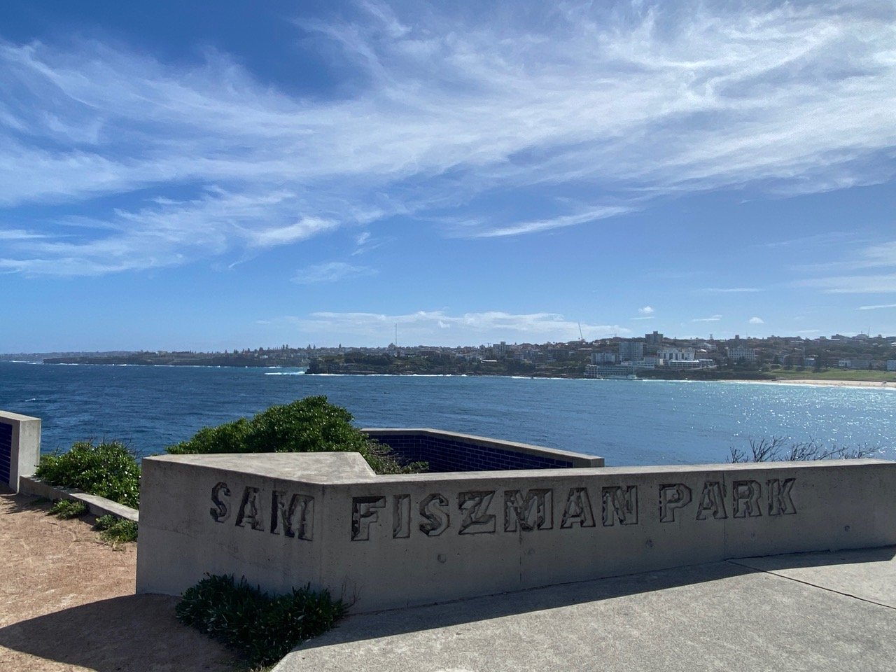
Engravings of whales are found all around Sydney’s foreshore.

Whales are, and have been for thousands of years, a totemic symbol for many coastal Aboriginal Australian groups.

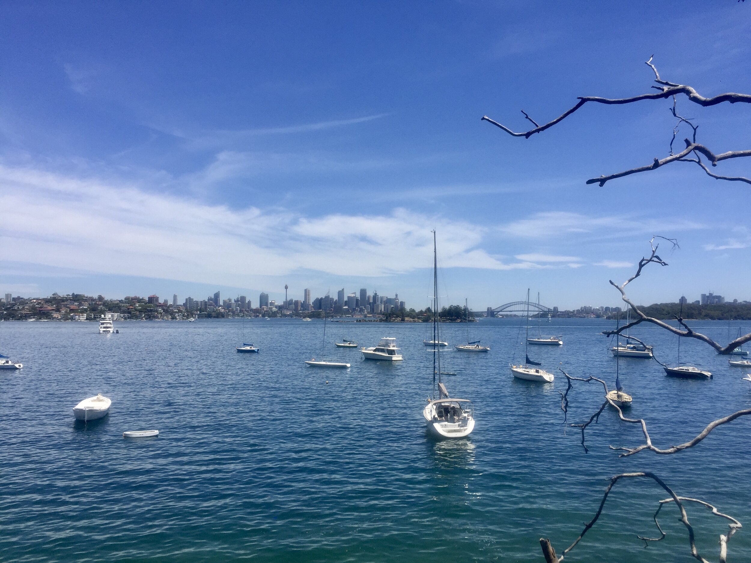
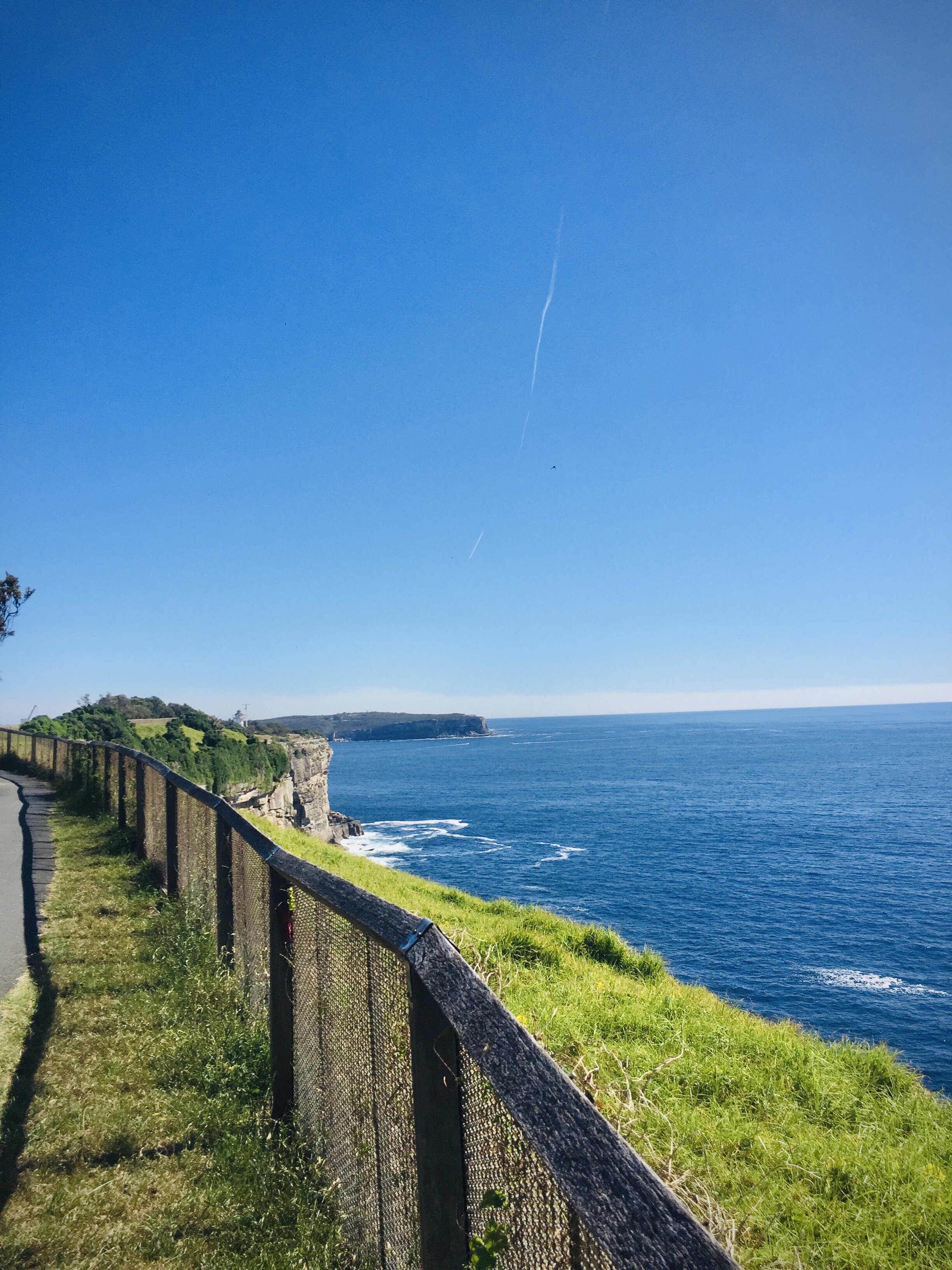
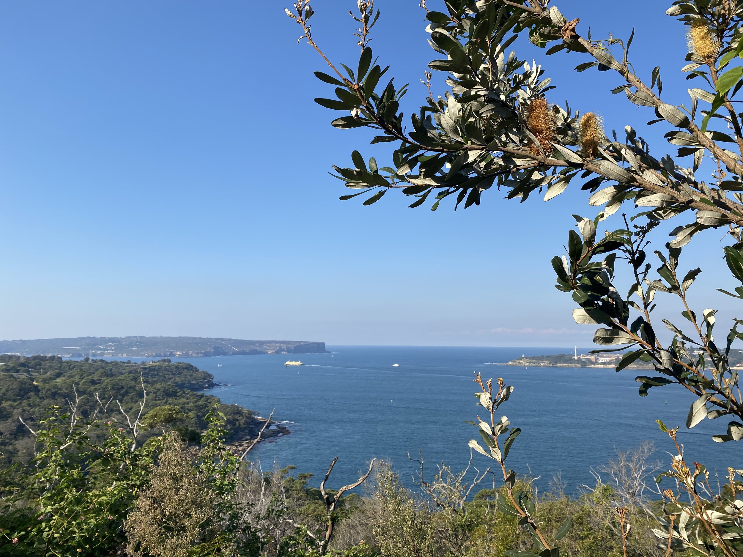
Even now, after a brief but intense period of whaling off our eastern shores, 30,000 Humpback and Southern Right Whales swim north from the Antarctic to the warmer waters of the Pacific between May and November each year.

Whaling began in the 11th Century when the Basques (now northern Spain & South Western France) started hunting and trading products from the Northern Right Whale - now one of the most endangered of the great whales.

When the First Fleet arrived in NSW in 1788, the international whaling industry was rapidly expanding to meet the increasing demand for whale oil, which until the development of petroleum in the 1850’s was the primary machine lubricant and preferred lamp oil in Europe and North America.

British whalers and sealers were the most frequent visitors to Port Jackson (now Sydney Harbour) during the first decade of British settlement. It was an essential part of the New South Wales economy and culture. It would become Australia’s first major industry with thousands of people and hundreds of ships eventually involved in the trade. The whaling industry helped the fledgling colony in NSW survive as the whaling ships came to NSW bringing convicts, much-needed food and supplies then setting off hunting for whales before returning to Britain.

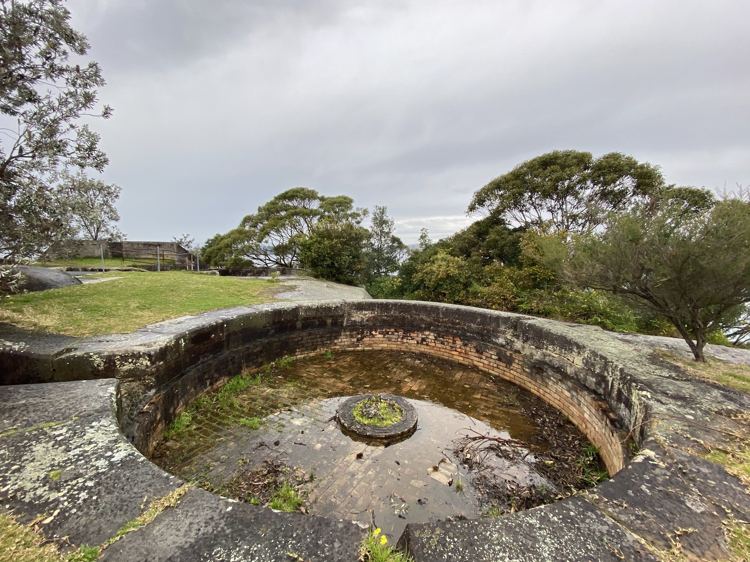
By 1831, Archibald Mosman and John Bell were allotted grants of land in Mosman Bay to establish a whaling station which was used to boil down and store whale oil on site for 6 years until 1839 when Mosman sold the site.

Whaling as an industry luckily died out in the 1840’s due to a rapid decline of whales in our local waters. The discovery of gold in Australia in 1851 encouraged sailors to desert their ships en masse and travel to the goldfields. The industry had provided New South Wales with 52% of exports in 1832 provided less than 1% by 1855.

Despite the downturn, whaling continued across Australia until 1979 when, after an inquiry into whales and whaling, the Fraser government accepted the recommendations to repeal the Whaling Act and introduce the Whale Protection Act. This permanently ended whaling in Australian waters. Australia would go on to pursue a global ban through the International Whaling Commission who introduced a moratorium in 1982 which is still in place today.

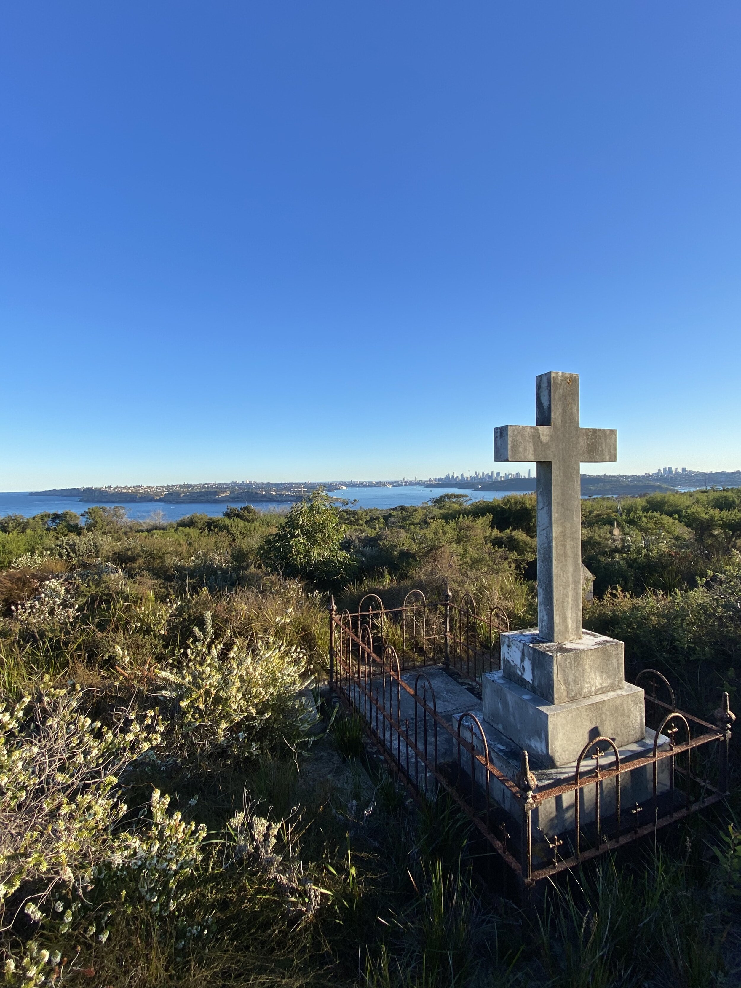
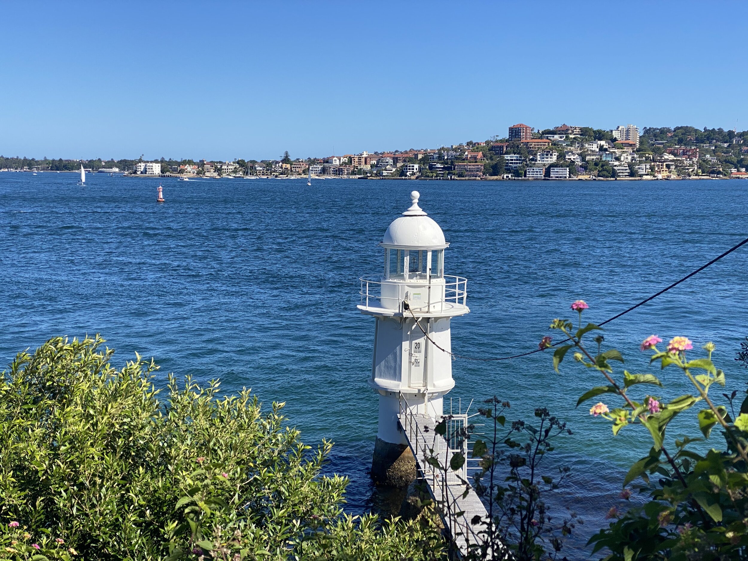
The Mosman Whaling Station stands today as Mosman Scouts Hall. You walk past it on the northern side of Mosman Bay before reaching the Mosman Wharf.

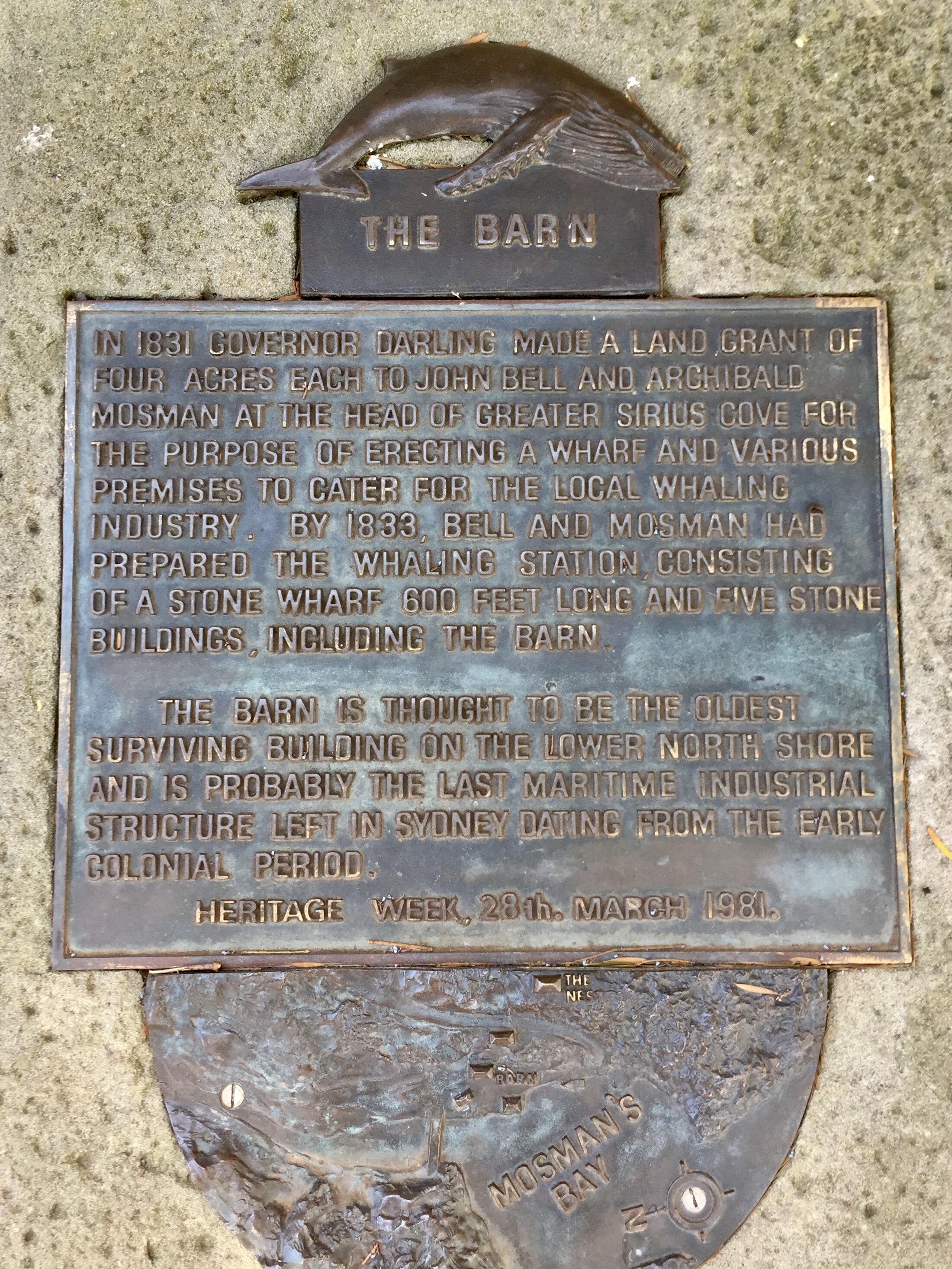
The plaque outside the building reads:

“In 1831 Governor Darling made a land grant of four acres each to John Bell and Archibald Mosman at the head of Greater Sirius Cove for the purpose of erecting a wharf and various premises to cater for the local whaling industry. By 1833, Bell and Mosman had prepared the whaling station, consisting of a stone wharf 600 feet long and five stone buildings, including the barn.

It is thought to be the oldest surviving building on the lower north shore and is probably the last maritime industrial structure left in Sydney dating from the early colonial period.”

The Barn - Mosman Whaling Station plaque